5 Carpathian villages in Lviv region that not everyone knows about
01 July 2026, 10:32
01 July 2026, 10:32
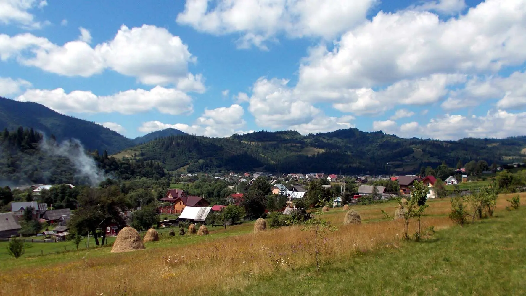
The Lviv Carpathians are not just Slavske or Skhidnytsia. There are dozens of small villages with centuries-old history, ancient churches, and mountain landscapes here. Tvoe Mistocollected five locations, which we will tell you about next.
Verkhnie Vysotske
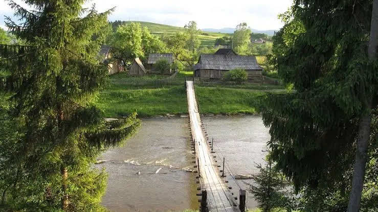
Located village in the Ukrainian Carpathians in the Borynia settlement territorial community of Sambir district.
The word 'Verkhnie' (Upper) indicates its location relative to the village of Nyzhnie Vysotske (Lower Vysotske). As for the word 'Vysotske', its meaning has changed several times throughout history - Vysotsko, Vysis'ke - due to different interpretations of its origin. Some derive it from the word 'vysoko' (high), 'vysochany' (highlanders), meaning a high location in the mountains. From here, the surname of the local Vysochanski family evidently originates. However, the renowned local historian, a native of these lands, Valeriy Vysochanskiy, suggests that in the area of the present-day villages of Nyzhnie and Verkhnie Vysotske, along the 'Ruska Put' (Ruthenian Way) route, markings ('vysivky') were made, hence the origin of the villages' names, originally Vysichky Nyzhni and Vysichky Vyzni. Later, both words underwent transformation.
Researchers suggest that the first settlement in this territory emerged at the beginning of the 13th century as one of the transit points on the ancient trade route Ruska Put.
In 1349, the Kingdom of Poland conquered Galicia, which became part of it as the autonomous Kingdom of Ruthenia. From 1387, after disputes with Hungary, which controlled these lands for some time, Poland finally established its power here. The village became part of first the Przemyśl Land, and later - the Sambir Powiat of the Ruthenian Voivodeship.
The village is first mentioned under the name 'Vysotske' in written documents from 1430. At that time, the Polish King Władysław Jagiełło granted it to Senko Dziurdziowicz-Stupnicki for 200 hryvnias and obliged him to supply 100 lambs to the army annually.
In the initial stages, documents did not specify which Vysotske was being referred to (whether Upper or Lower), simply writing the name in Latin texts as 'Vissoczke' or 'Wischoszeke'. Verkhnie Vysotske was a noble village and was passed down by inheritance ('villa herditarta'), while Nyzhnie Vysotske, from 1539 (after the division of lands by Queen Bona's commission into royal and noble lands), became a royal village ('villa regalis').
In 1431, King Jagiełło gifted Turka and the surrounding territories to the Hungarian Count Ivan Volokh for military merits. From one of his grandsons, Dmytro (Dumka), originated the noble family that took its surname from Vysotsk, known as Vysochanski.
Pidhorodtsi
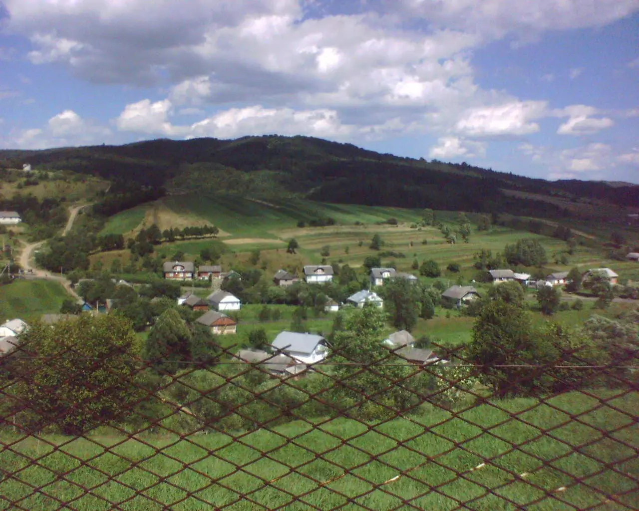
Pidhorodtsi — village located in the Skole urban hromada of the Stryi Raion.
Based on archaeological research, it has been established that the first settlements on the territory of the village of Pidhorodtsi and its surroundings already functioned in the Mesolithic era, i.e., 10000 BC. Such a settlement was discovered in the Sokilym tract, near sandstone rocks, and in the "Hory" tract, a settlement of the Neolithic era was discovered, i.e., 5000 years ago.
According to archaeologist Leonid Matskevych, the settlement of the Pidhorodtsi III overhang in the Mesolithic period and the late medieval and subsequent times was short-lived. Perhaps hunters, fishermen, or shepherds stopped here, finding temporary shelter from bad weather. This is evidenced by the number of finds, the insignificant thickness of the cultural layer, and its scattered nature.
Krushelnitsya
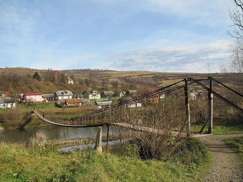
Krushelnitsya — village in the Skole urban hromada of the Stryi Raion.
The Stryi River flows through the village, as does the small Brychka River (Krushelnitsya), on which the small (1.5 m) waterfall of the same name, Krushelnytskyi, is located. There is a suspension wooden bridge in the village, which is a crossing to Zarichchya (a part of the village located on the right side of the Stryi River, upon entering the village). From the village, there is a road to Mount "Dil" and "Parashka".
Read also: Little-known places of Lviv Oblast: five locations that few people know about
On October 4, 1395, Polish King Władysław Jagiełło granted the village of Krushelnitsya in the Tustan volost to Ivan and Demian. Jagiełło's privilege was confirmed in 1556 by King Sigismund II Augustus.
There are three churches in the village: St. Nicholas Church, St. Trinity Church (near which stands an old stone chapel built in the late 1700s), and the Church of the Most Holy Mother of God. A memorial sign has been erected in the village in honor of the stay of Stepan Bandera with a group of 50 Lviv students in the village in August 1933. The school building should also be an architectural heritage, as it was the estate of an Austrian governor.
It is known from the history of the region that in 1895-1896, a railway was planned to be built along the Stryi River valley from Verkhnie Synovydne to Kropyvnyk to Turka to Sambir. However, these plans were never realized. In 1895-1906, only the Verkhnie Synovydne - Krushelnitsya forest narrow-gauge railway was laid along this route, later extended to Rybnyk with branches to Zubrytsia and Malmanstal. This railway existed until 1969. The narrow-gauge railways are described in detail in the book by Andriy Bassarab, Mykhailo Hnatyshyn, Ihor Chudiovych "Narrow-gauge railways of the Skole Beskids".
Narrow-gauge railways were mostly built for timber transportation. However, in the 1930s, passenger service was introduced on it. This railway line became one of the first small railways in Europe to receive a license for tourist traffic. Currently, the Lviv Regional League of Intellectual Creativity is implementing the "Carpathian Tram" project to study narrow-gauge railways, preserve their remains as monuments of technical history, and study the possibilities of using local railways for tourism purposes.
Lyubohora
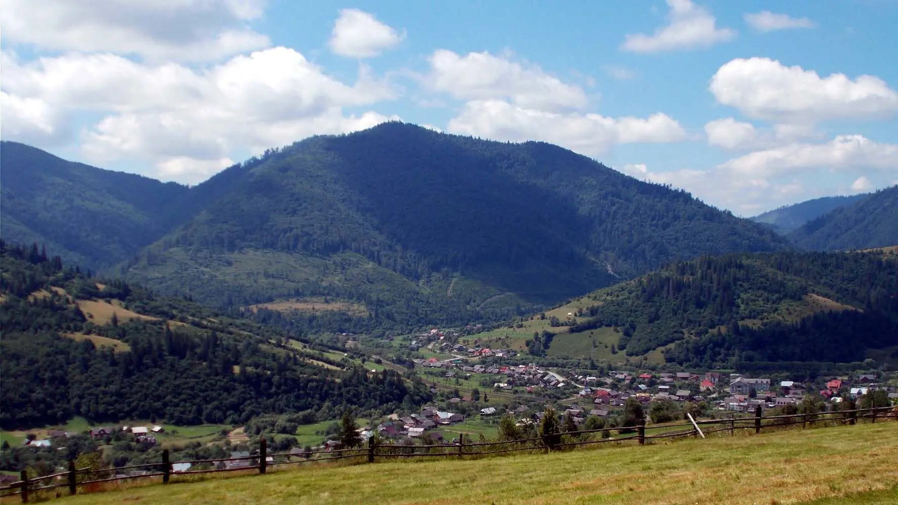
Lyubohora — a village in the Borynia urban territorial community of the Borynia district.
The large and long village of Lyubohora is located on the Tsyhla River (Lyubohorka, a tributary of Opir).
The first historical mentions of the settlement date back to 1300, which is why Lyubohora is considered one of the oldest settlements in the district.
The origin of the village name is associated with a legend about hunters who hunted martens in the pristine forests here, particularly about their leader, who was lured into the depths of the forest by a marten and disappeared without a trace. When the man looked around and realized he didn't know the way back, he began to wander through the forest, muttering: "Evil forests..." The hunters found him barely alive, and for a long time, they avoided this place and warned others about the "evil forests." Over time, people settled here, part of the forests were cut down, and the name of the settlement was transformed into Lykhora, which eventually became Lyubohora.
Yasenitsia-Zamkova
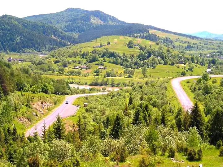
Yasenitsia-Zamkova — a village in the Strilky territorial community of the Sambir district.
The Velyka and Yasenitsia rivers flow through the village, and nearby are the Verkhy (693 m), Dmytrovsky Verkh (789 m), and Kokhanovets (712 m) mountains.
The first mention of the village dates back to 1539.
The origin of the village name is quite interesting, as there was never a castle here. The fact is that earlier these territories belonged to the Turka nobility. In 1538, these lands were confiscated by the royal commission and demarcated from private ownership. As a reminder that these territories were part of the Sambir Castle lands, the addition "Zamkova" remained. At the same time, this addition distinguished this Yasenitsia from Yasenitsia-Solna, which is in the Drohobych region. And the origin of the first word in the village name comes from the river Yasenychanka (or Yasenitsia), a tributary of the Dniester.
From the 16th to the 18th centuries, royal hunting grounds were located in and around the village.
Before World War II, a training camp for physical and military training of Polish troops was located in Yasenitsia-Zamkova.
The village has a museum of Boyko culture, located in the bell tower of the church of St. Michael (1730). Initially, this building was a small church, but later it was converted into a bell tower. The museum's collection was assembled by a local priest. In the museum, one can see peasant tools, dishes, looms, clothing, and furniture; the second floor houses an exhibition of embroidered banners and icons.
Sources: spadok.org.ua, karpaty.rocks
Related News